Weather Satellite Imagery Capture and Processing
During March to May of 2020, I spent extensive time learning to receive and process various types of VHF satellite imagery provided by a handful of government satellites. Primarily, imagery can be download via two series of satellites, NOAA and Roscosmos "Meteor" satellites. Both transmit in the VHF frequency band, with NOAA transmitting via automated picture transmission (APT) format, and Meteor transmitting via low-resolution picture transmission (LRPT) format. The images are received via a VHF antenna, and decoded using a software-defined radio (SDR) and a decoding software. The images are then processed using a variety of software tools to enhance the image quality and remove noise. The images are then composited together to create a full image of the Earth. The images are then used to monitor weather patterns and storm systems.
During March to May of 2020, I spent extensive time learning to receive and process various types of VHF satellite imagery provided by a handful of government satellites. Primarily, imagery can be download via two series of satellites, NOAA and Roscosmos "Meteor" satellites. Both transmit in the VHF frequency band, with NOAA transmitting via automated picture transmission (APT) format, and Meteor transmitting via low-resolution picture transmission (LRPT) format. The images are received via a VHF antenna, and decoded using a software-defined radio (SDR) and a decoding software. The images are then processed using a variety of software tools to enhance the image quality and remove noise. The images are then composited together to create a full image of the Earth. The images are then used to monitor weather patterns and storm systems.
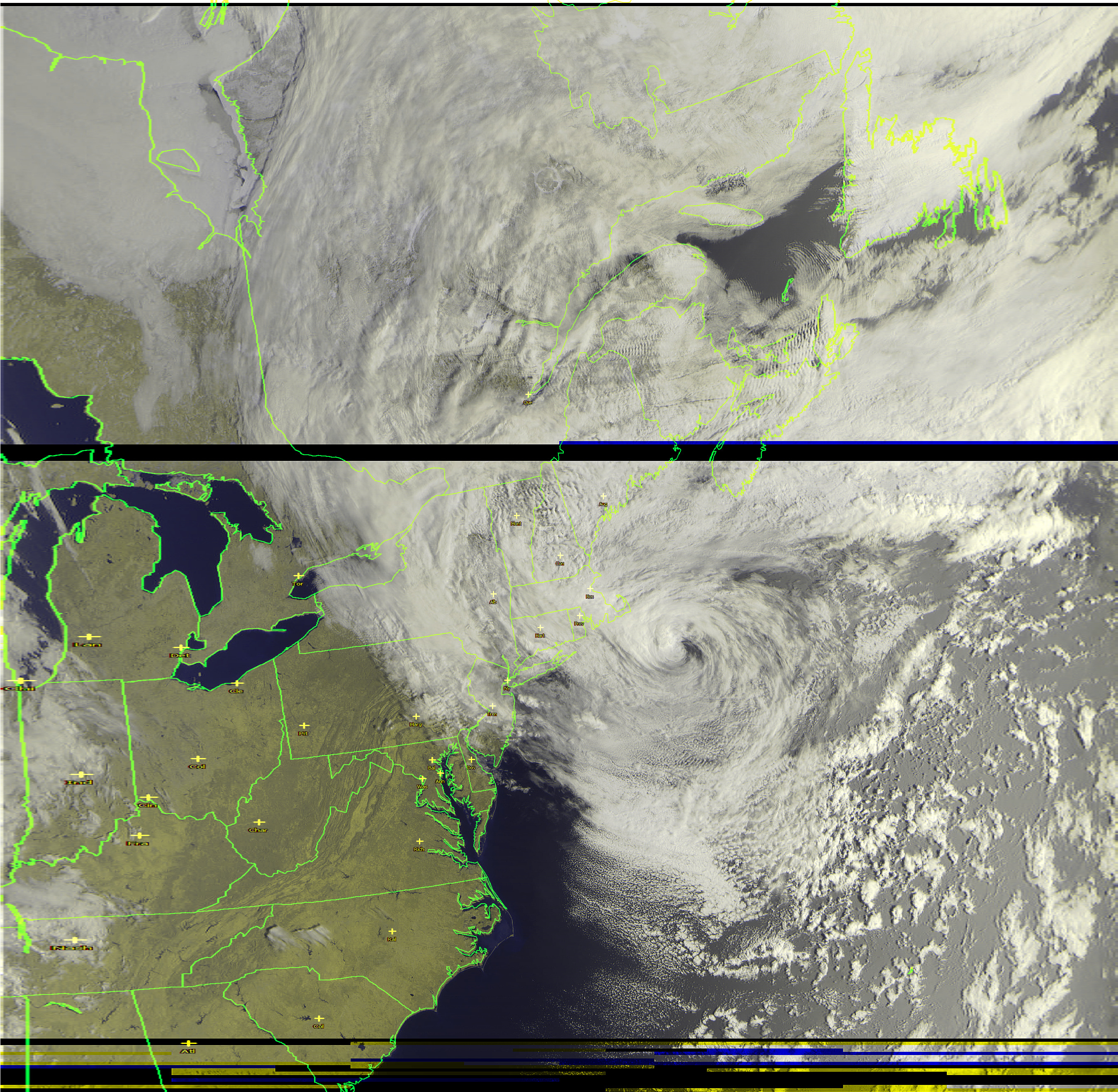
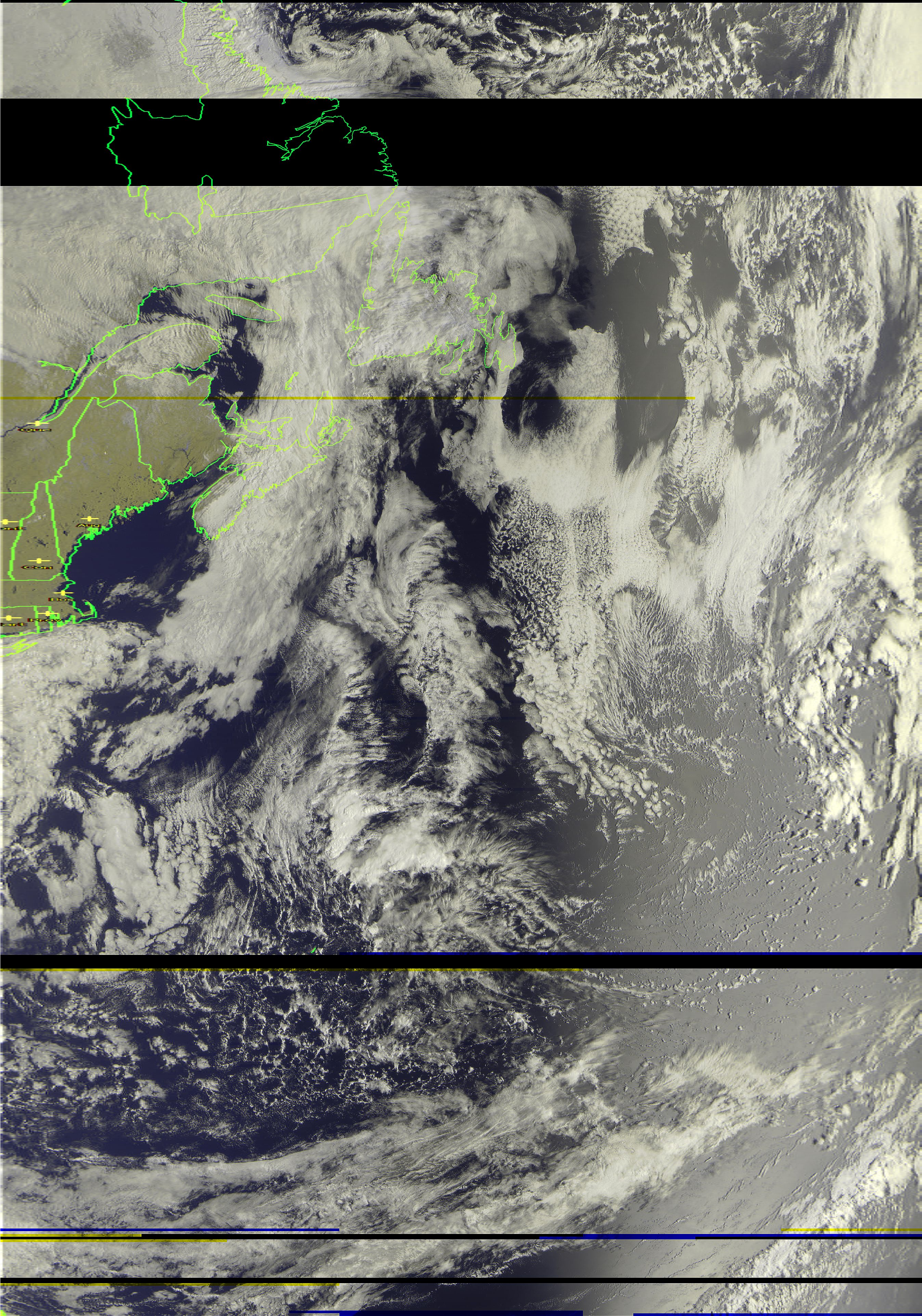
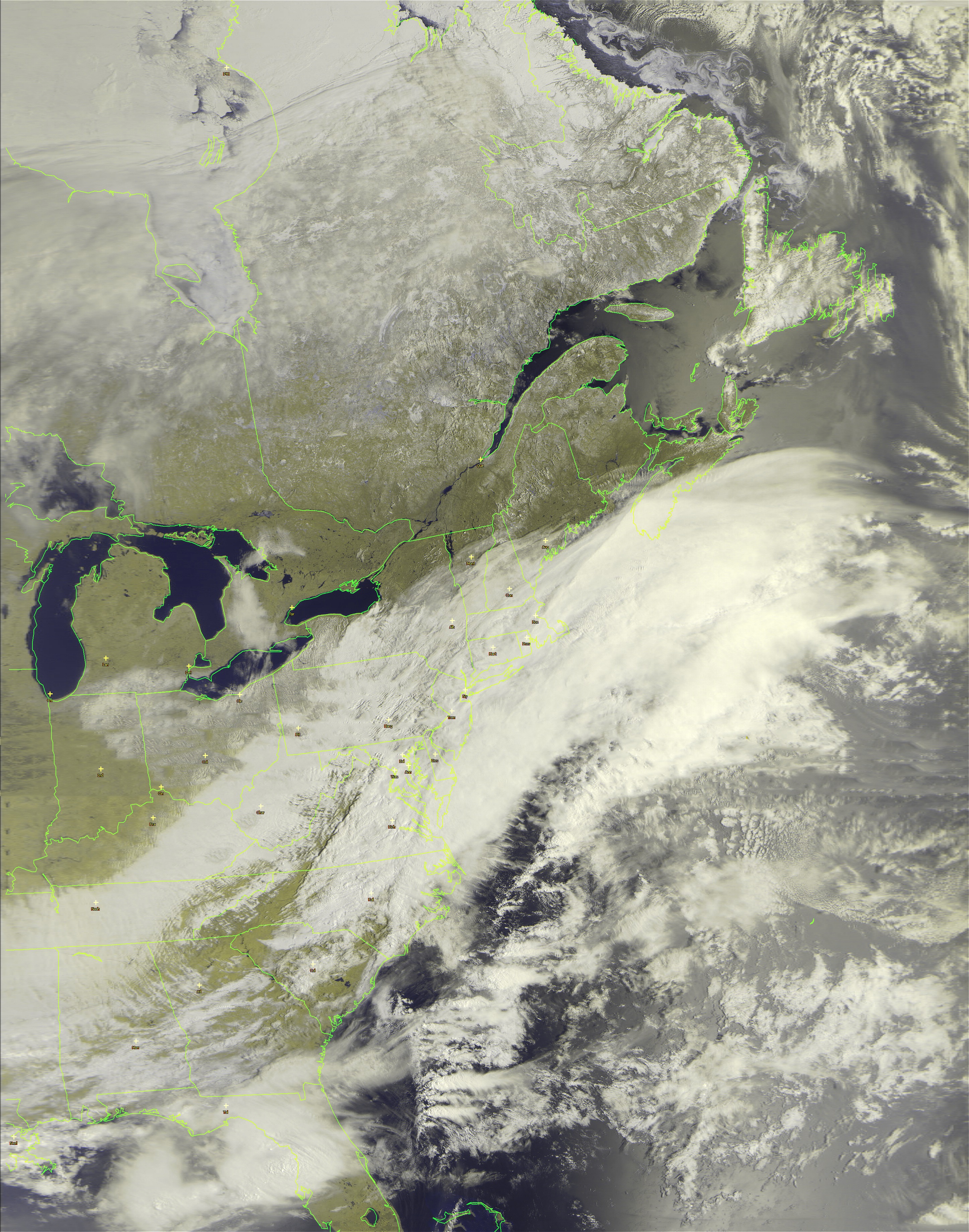
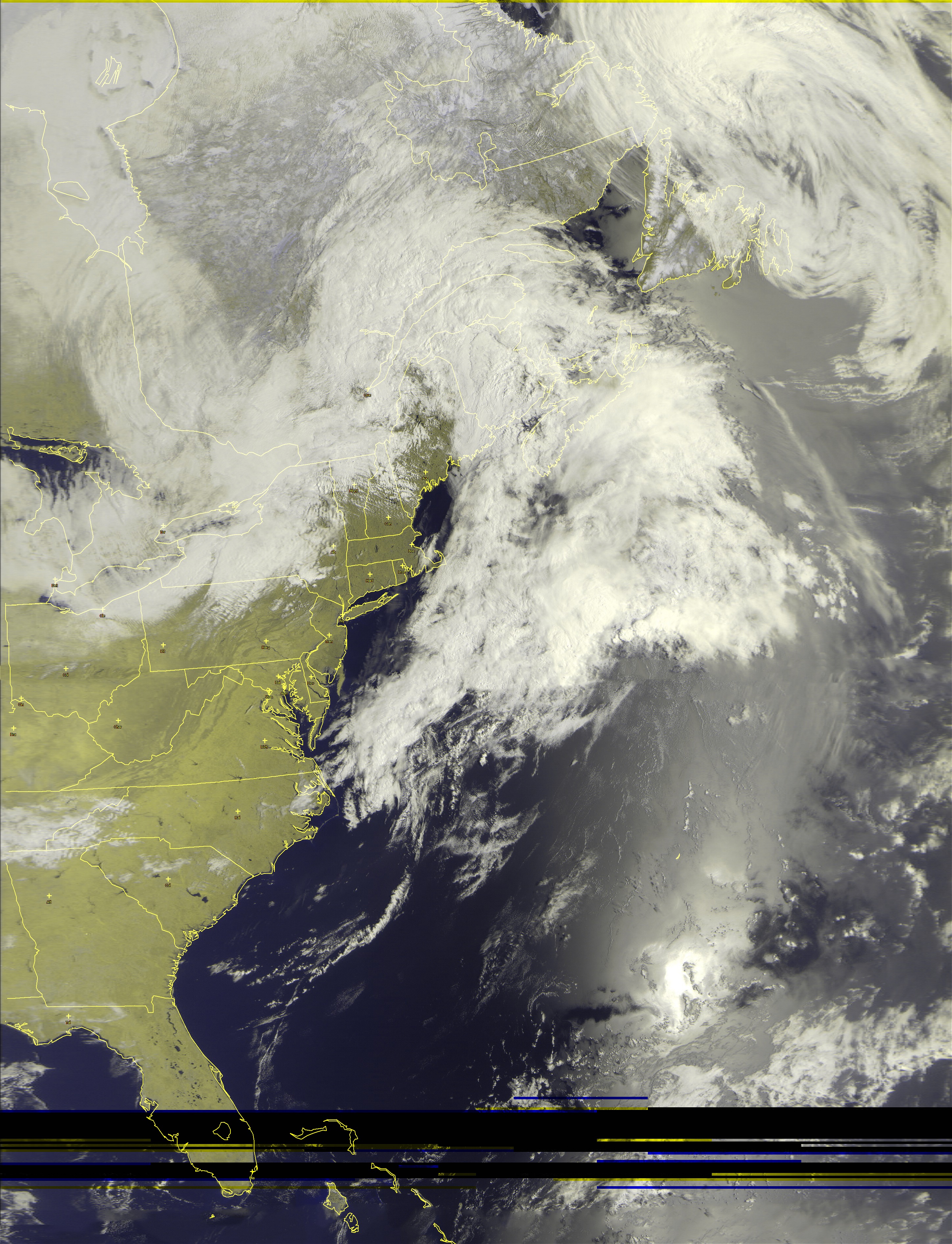
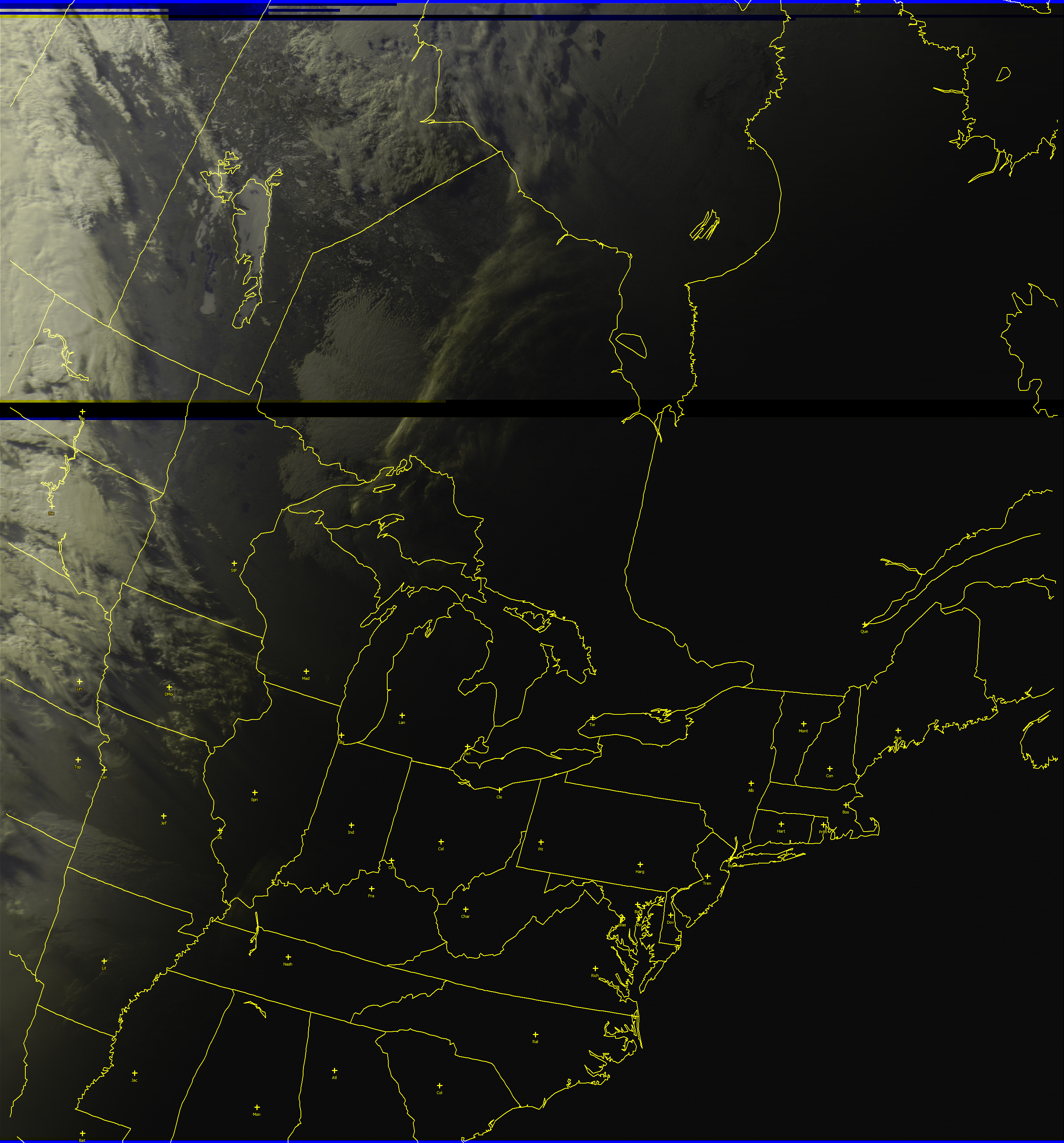
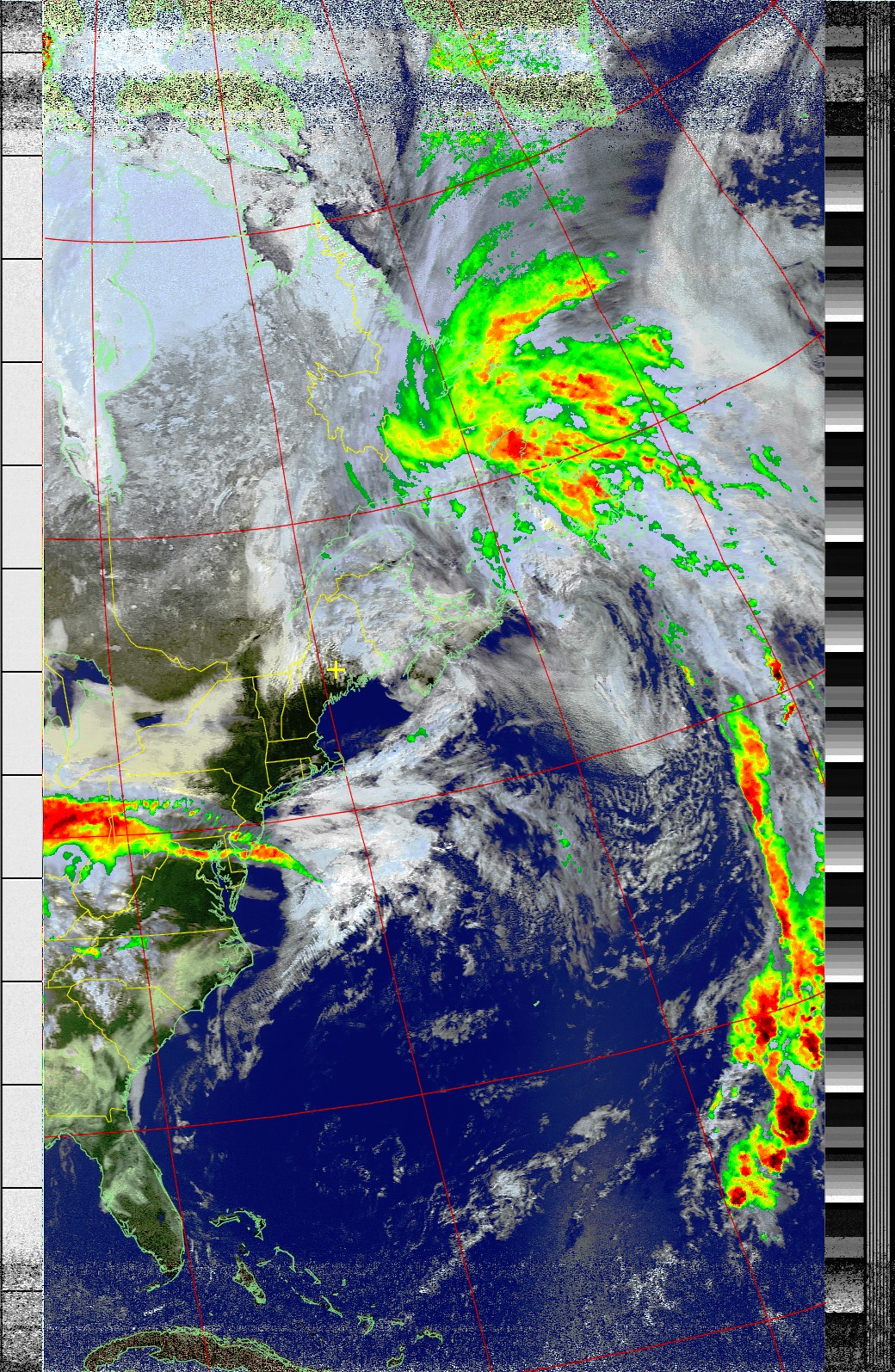
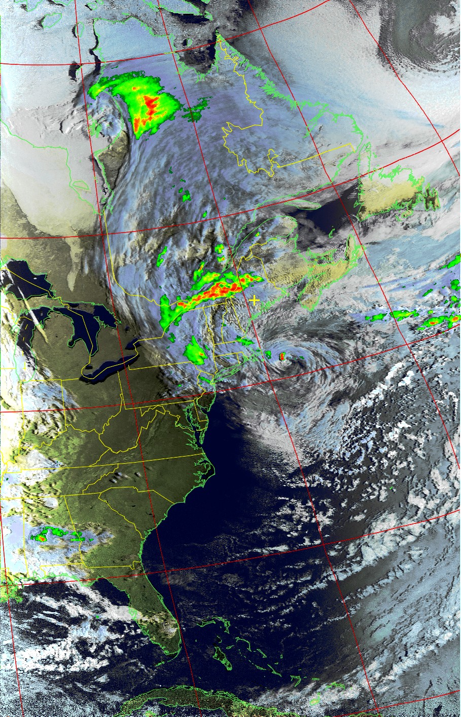
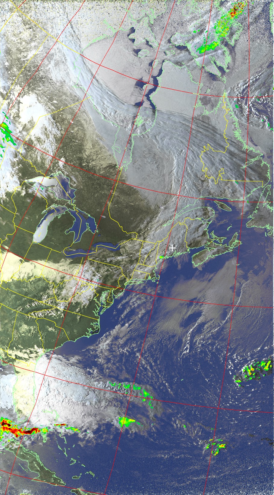
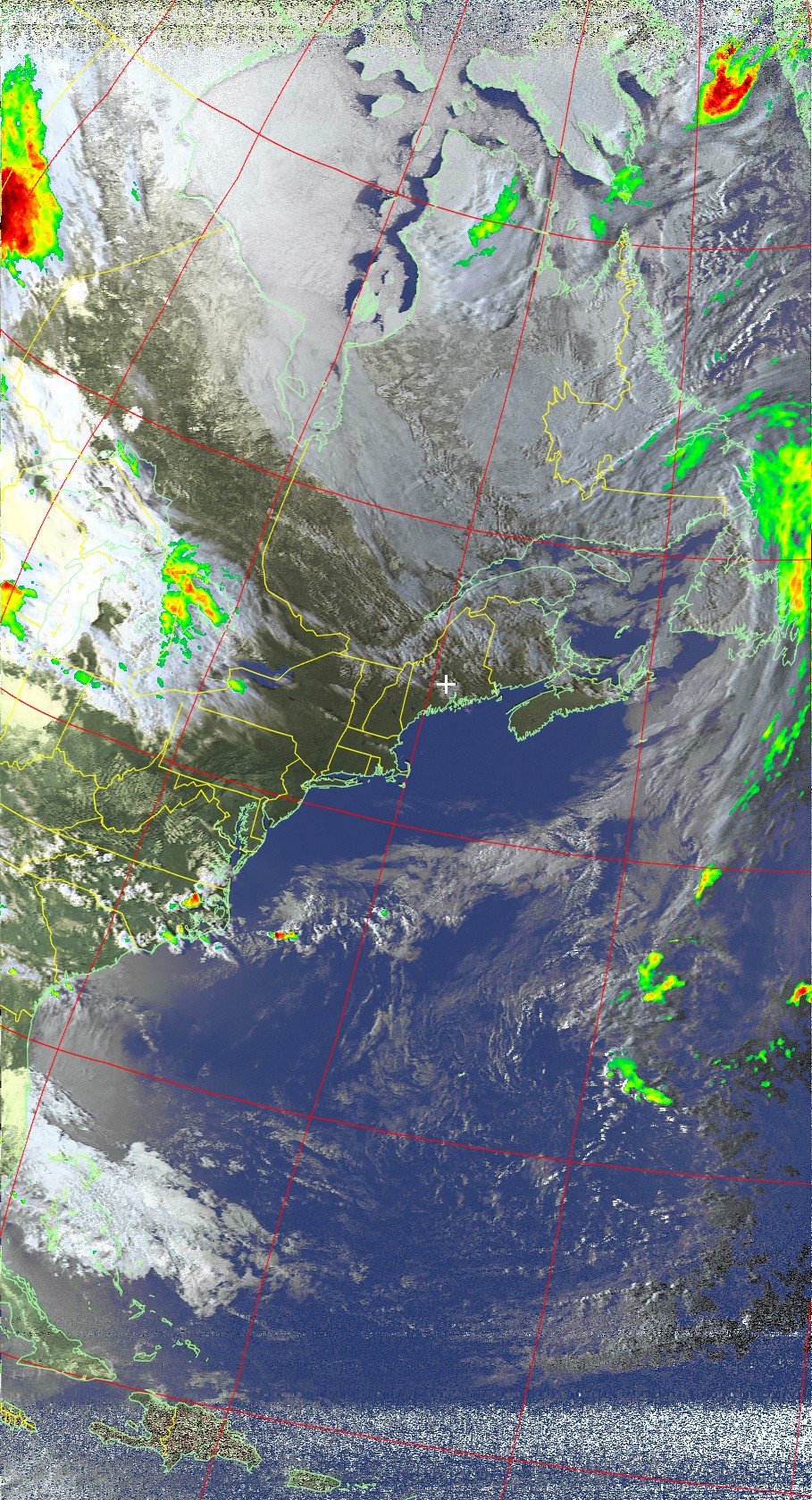
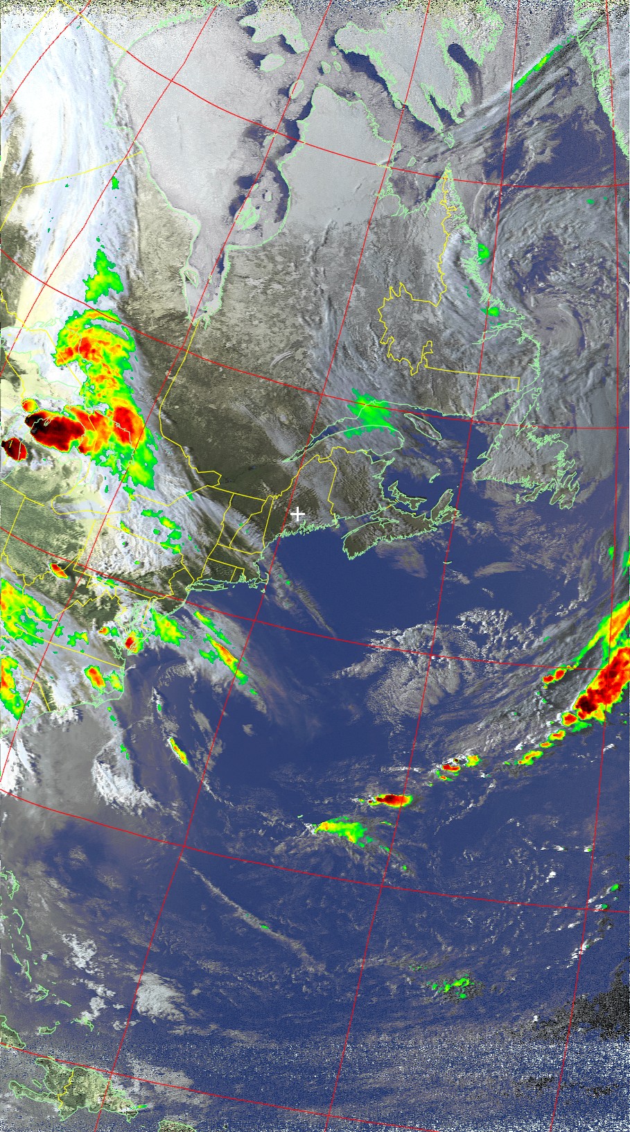
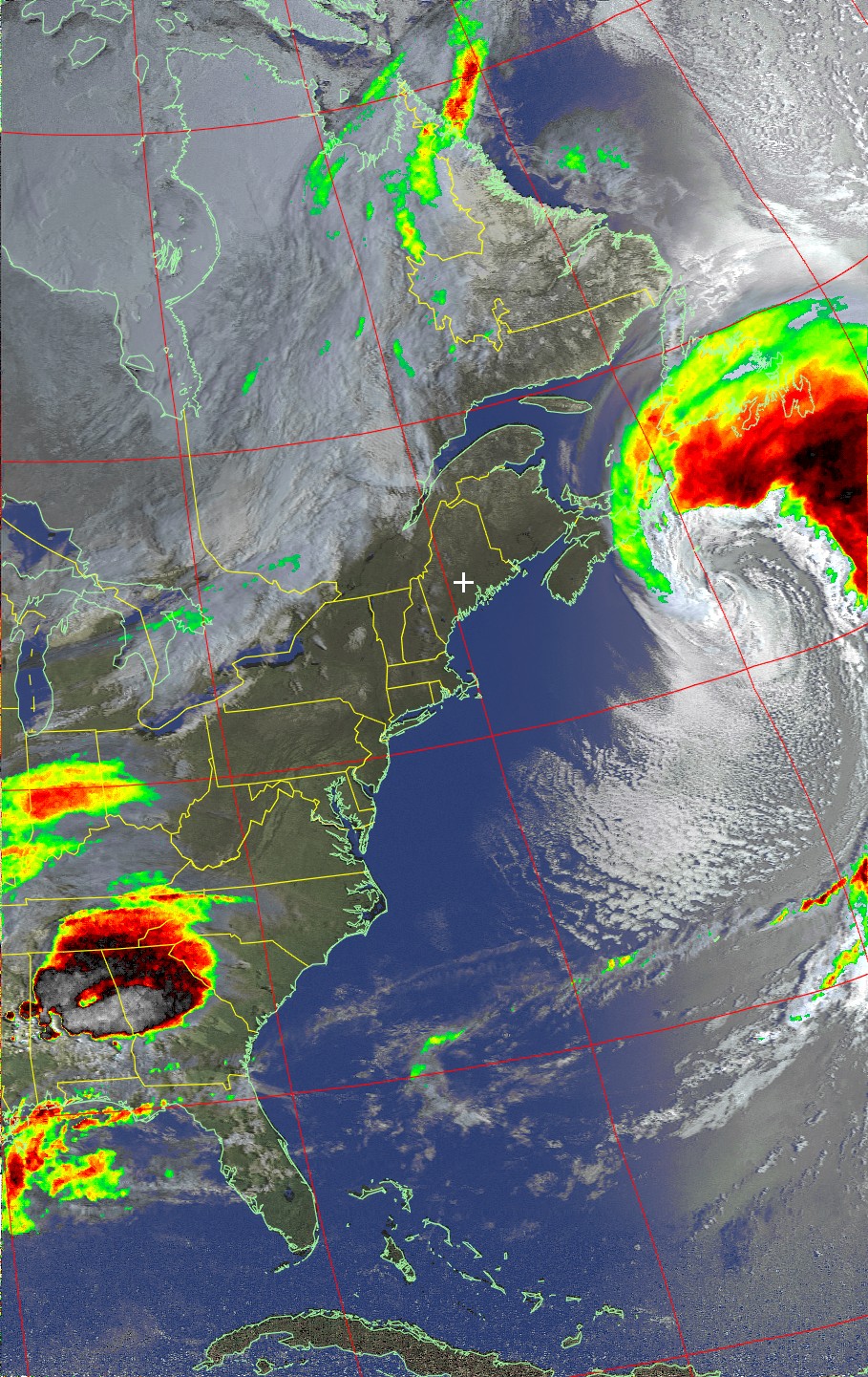
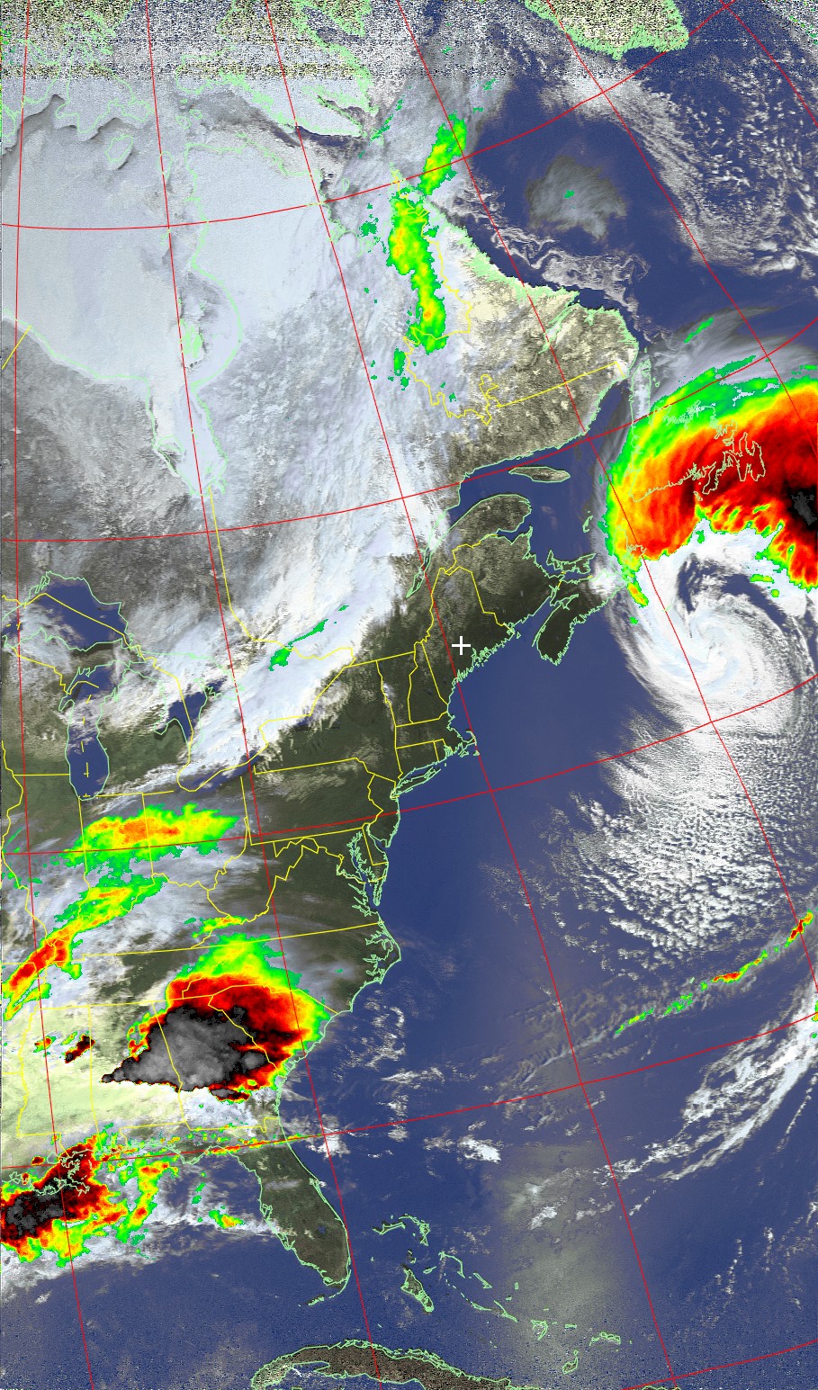
American "NOAA" Weather Satellite Images
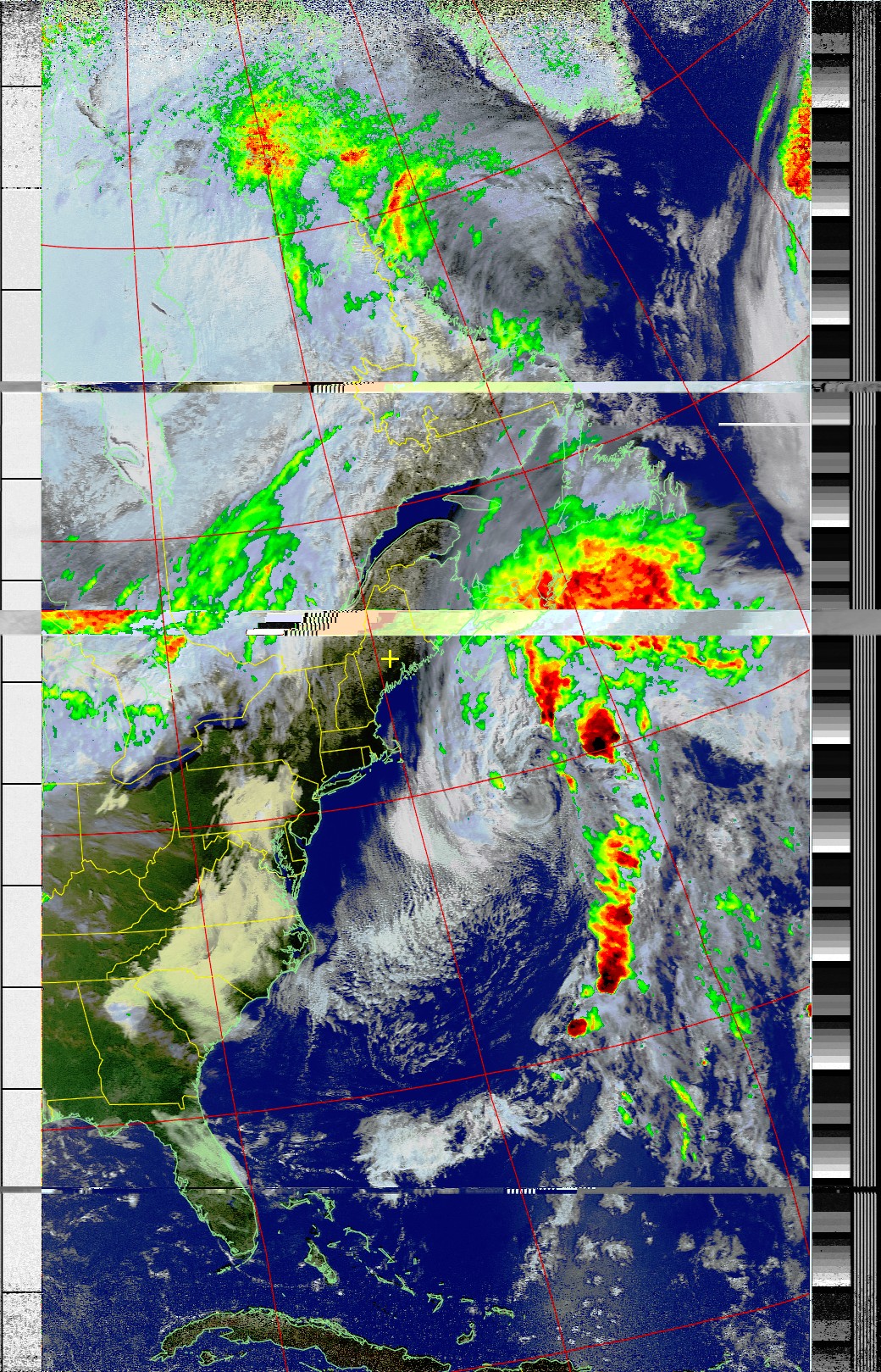
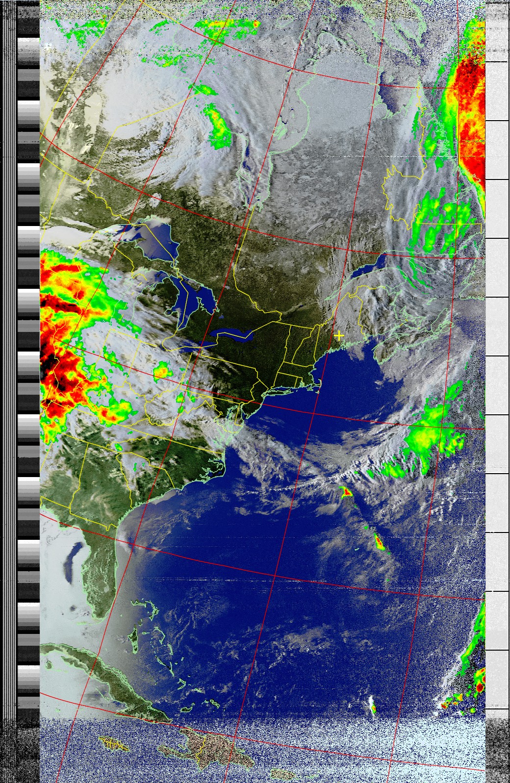
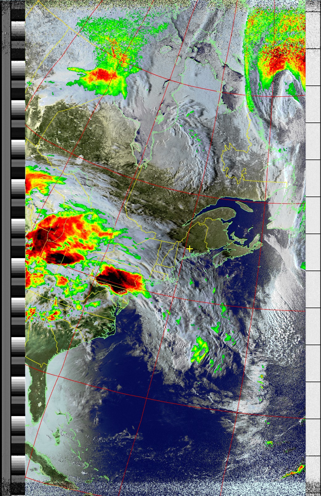
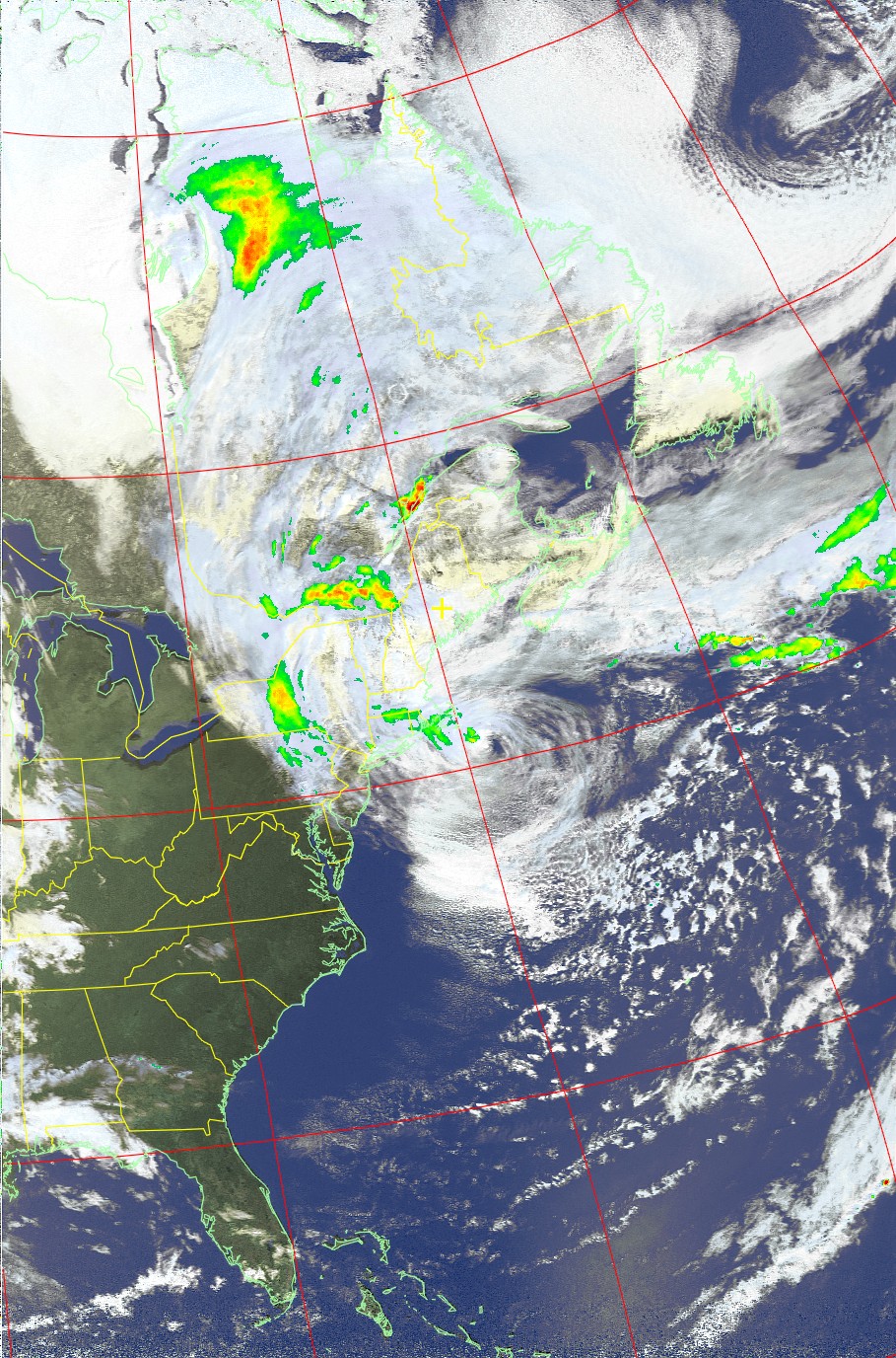
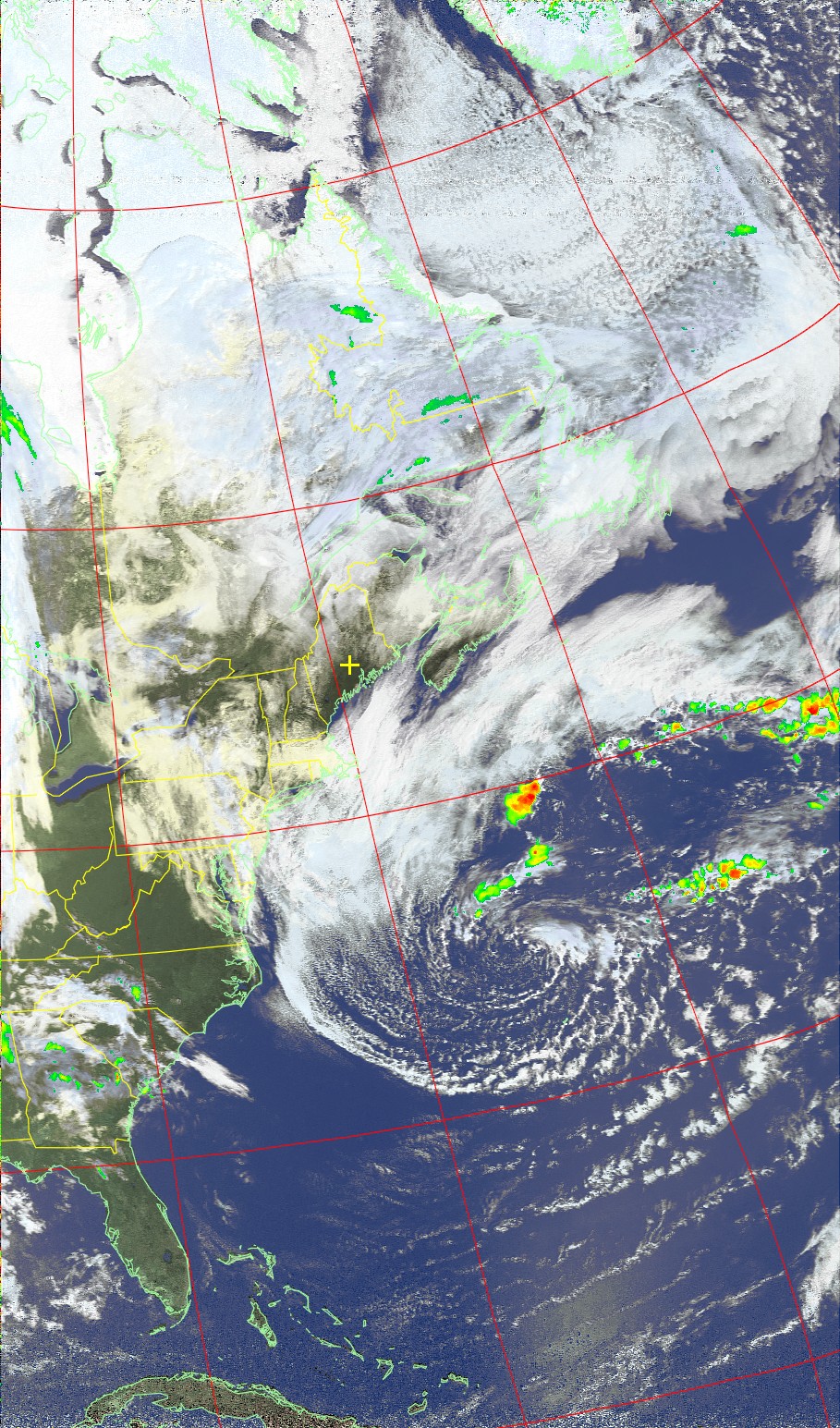
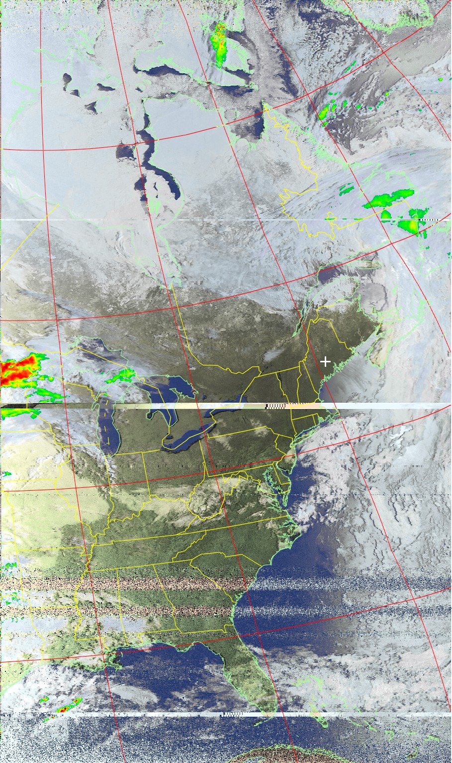
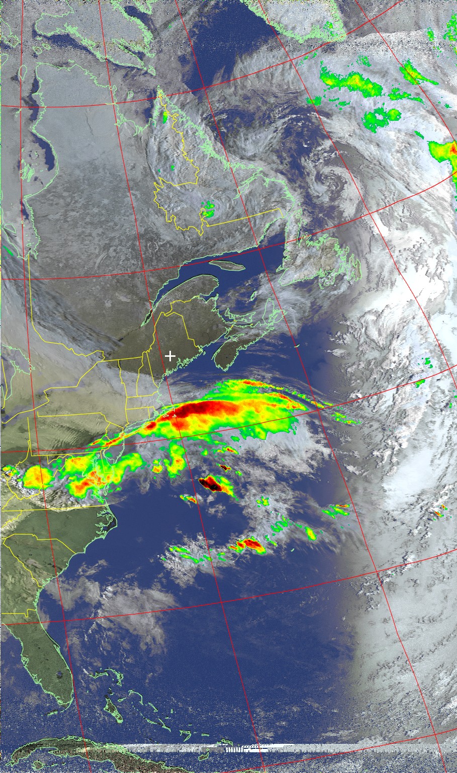
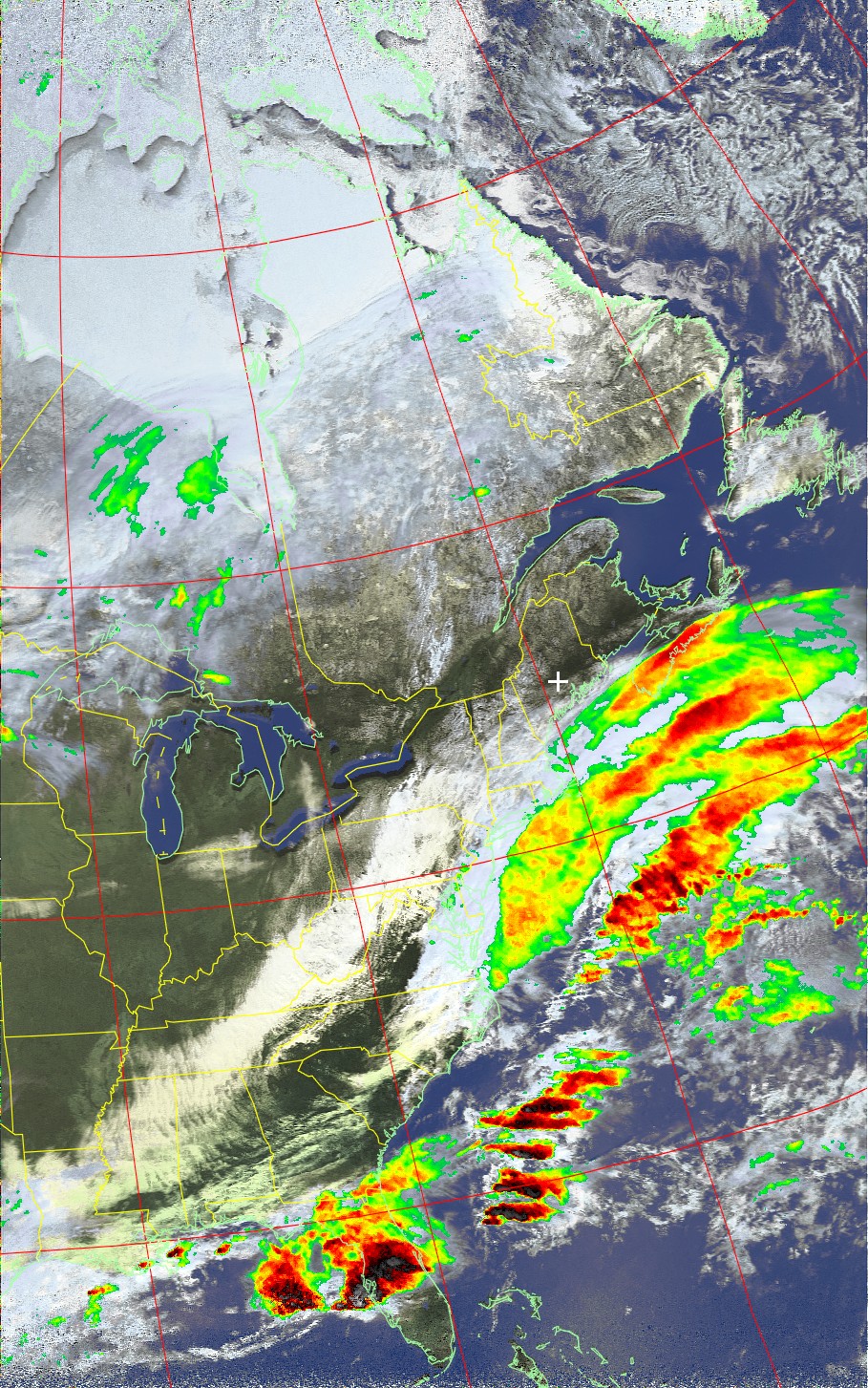
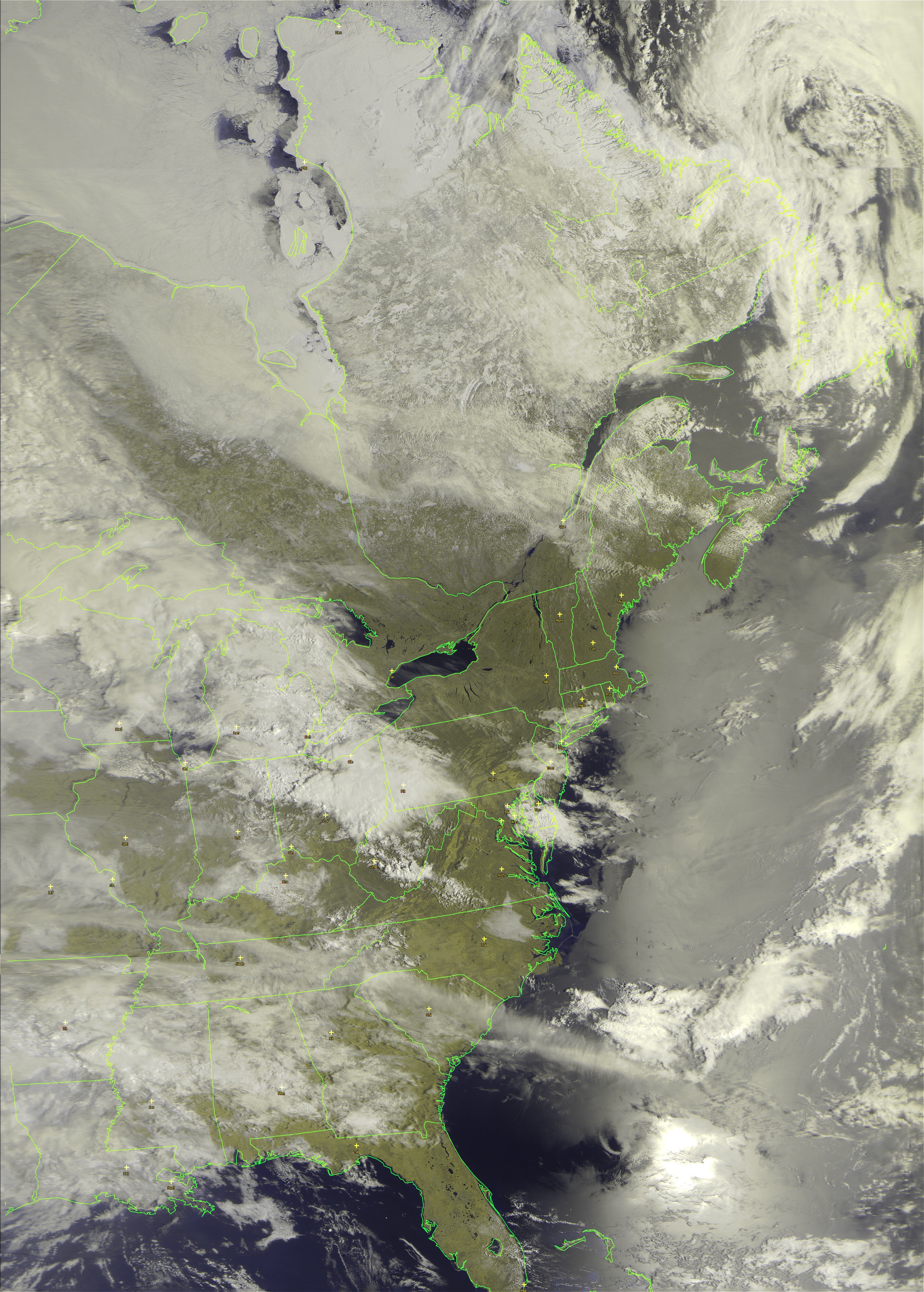
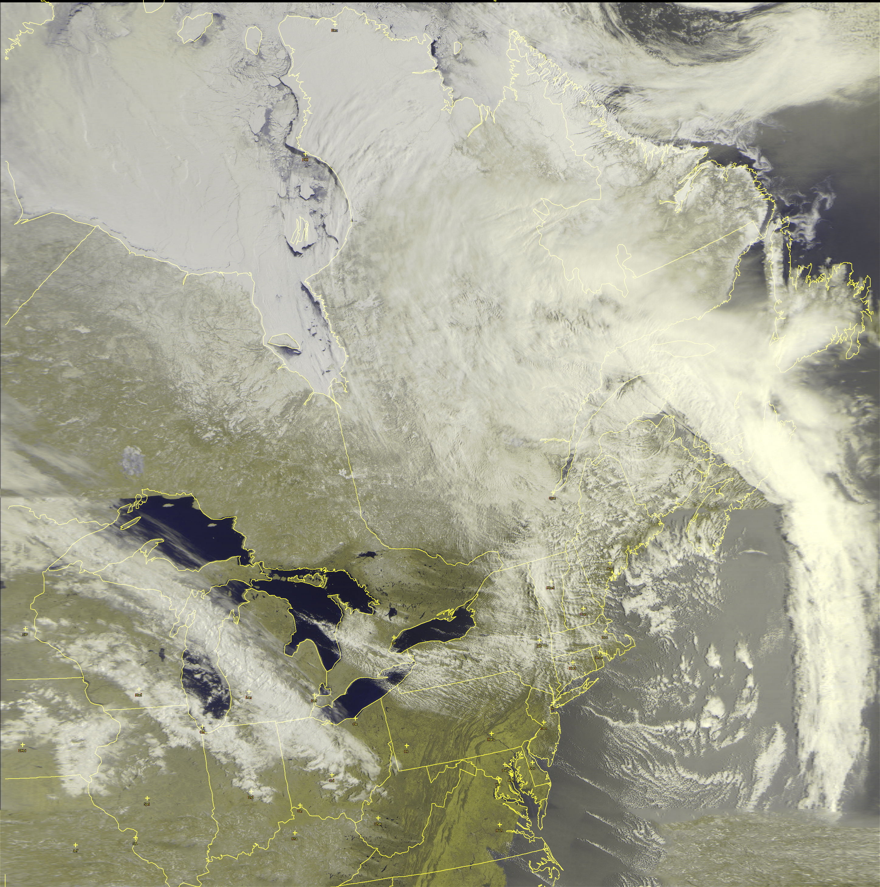
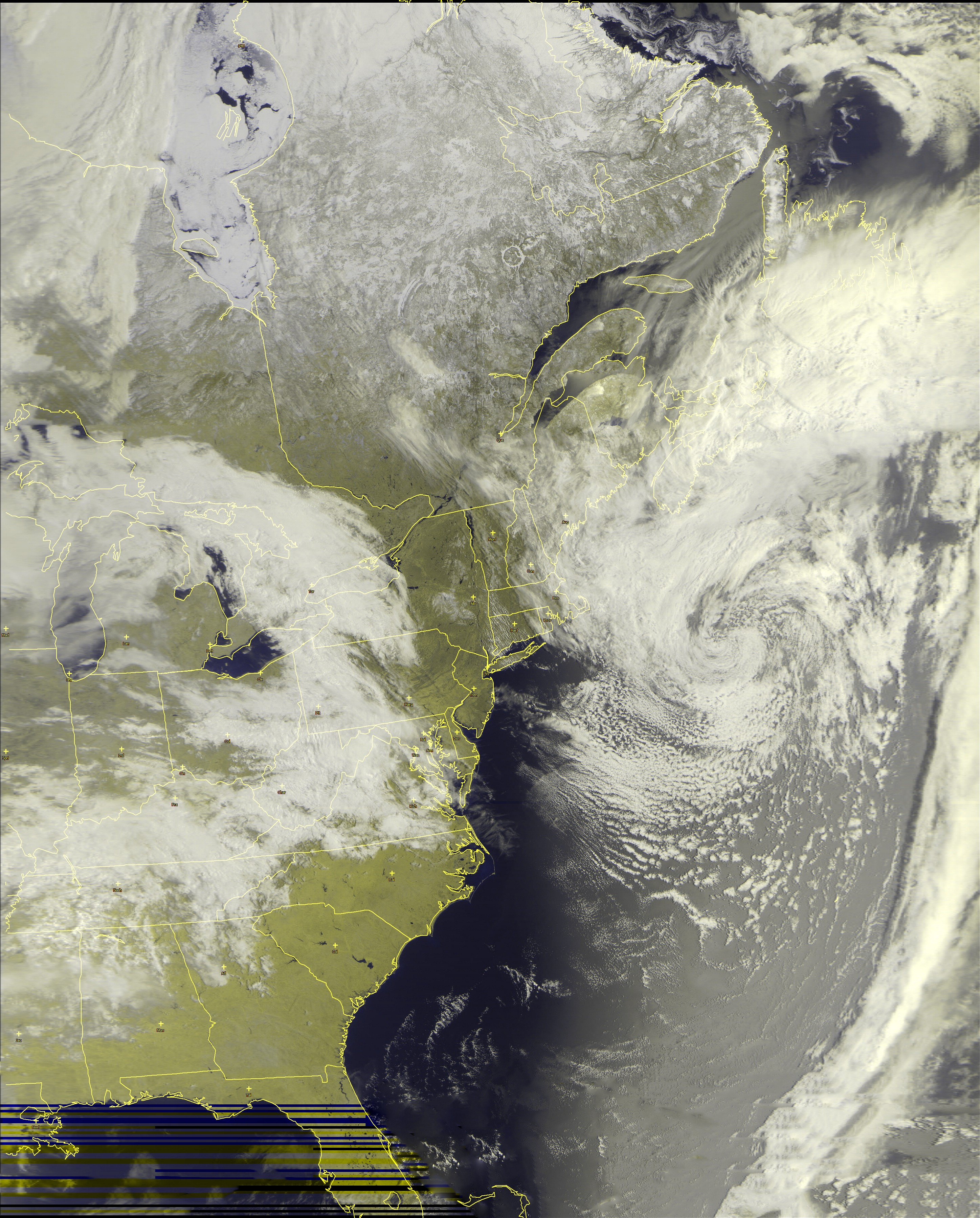
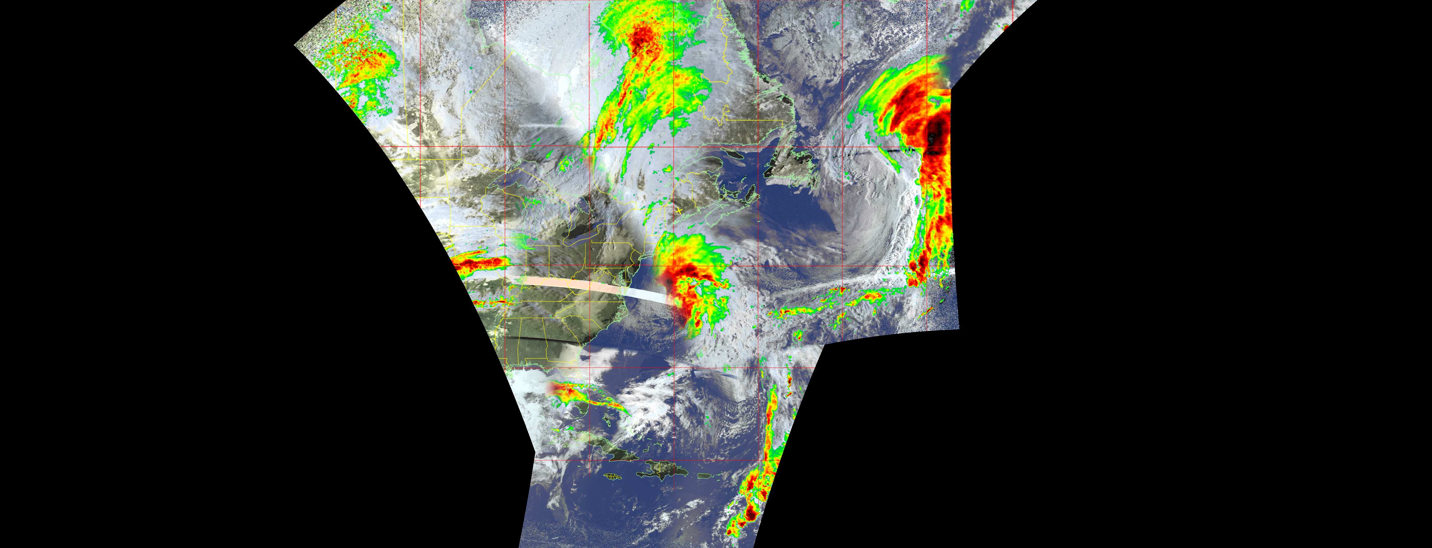
American "NOAA" Weather Satellite Images - Composites
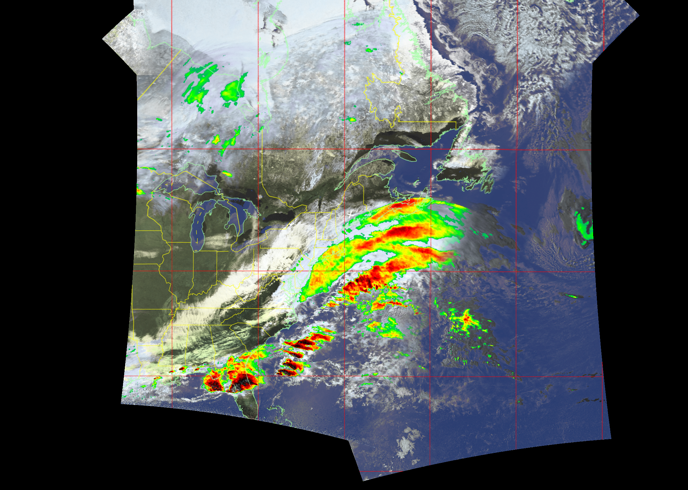
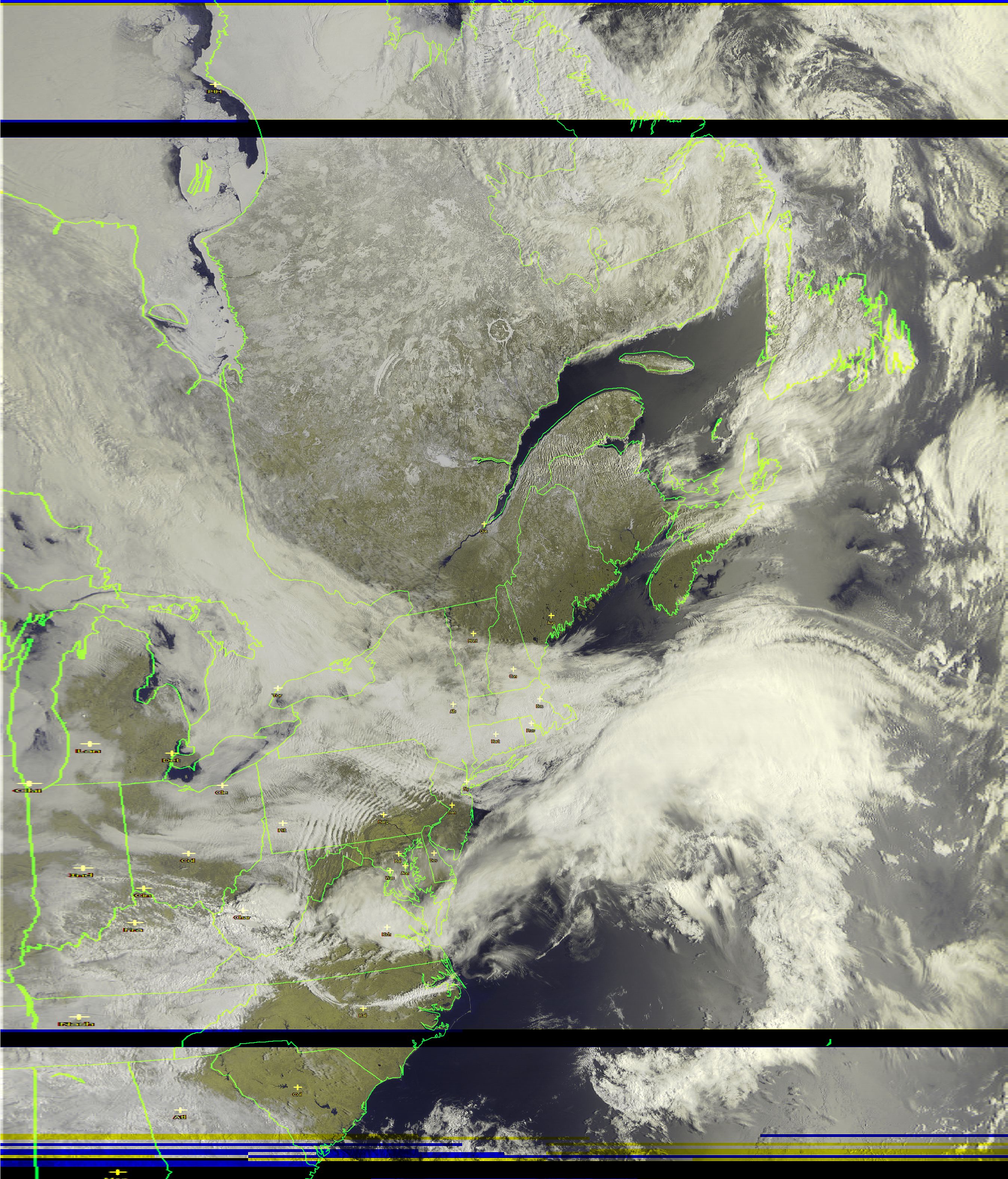
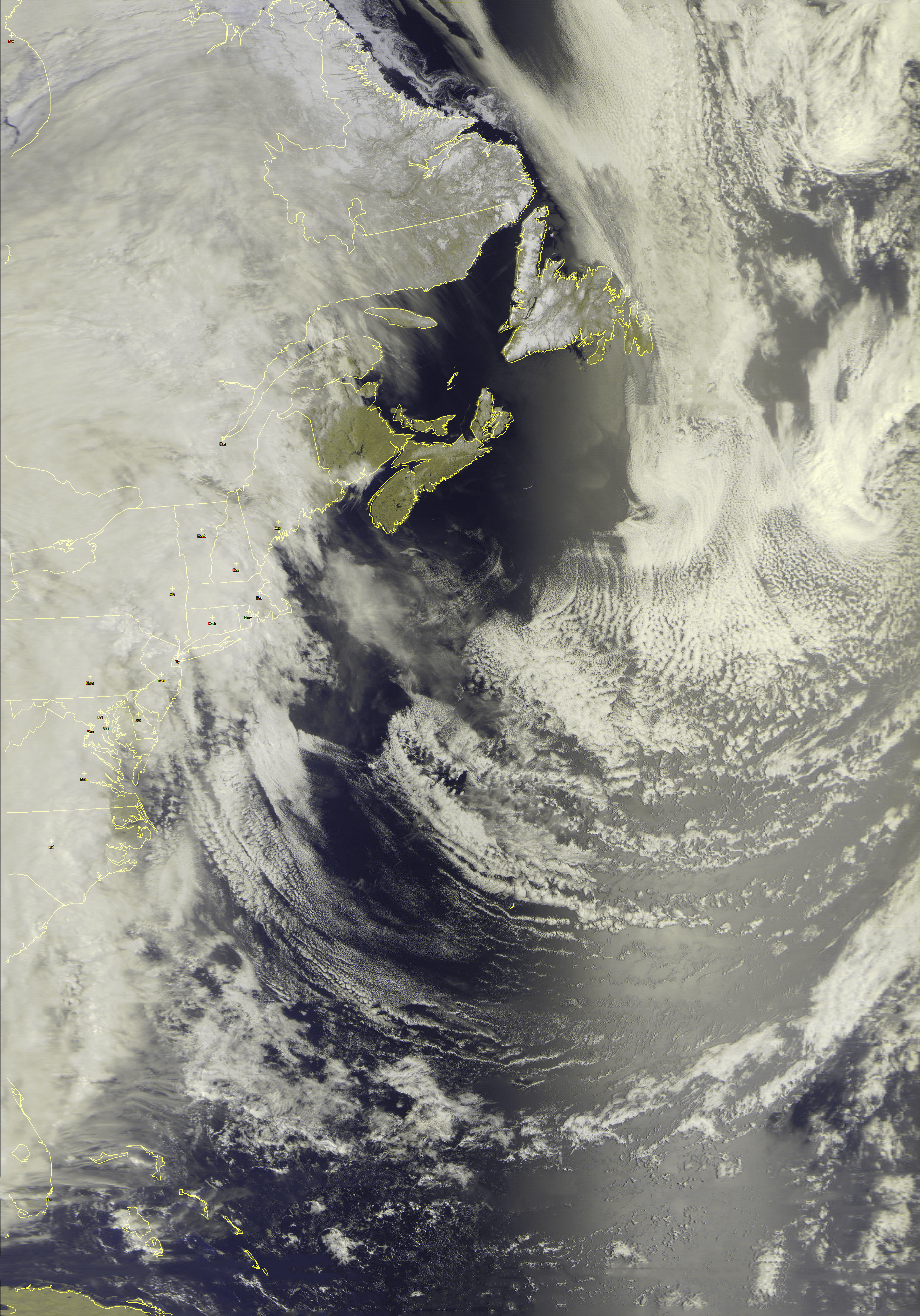
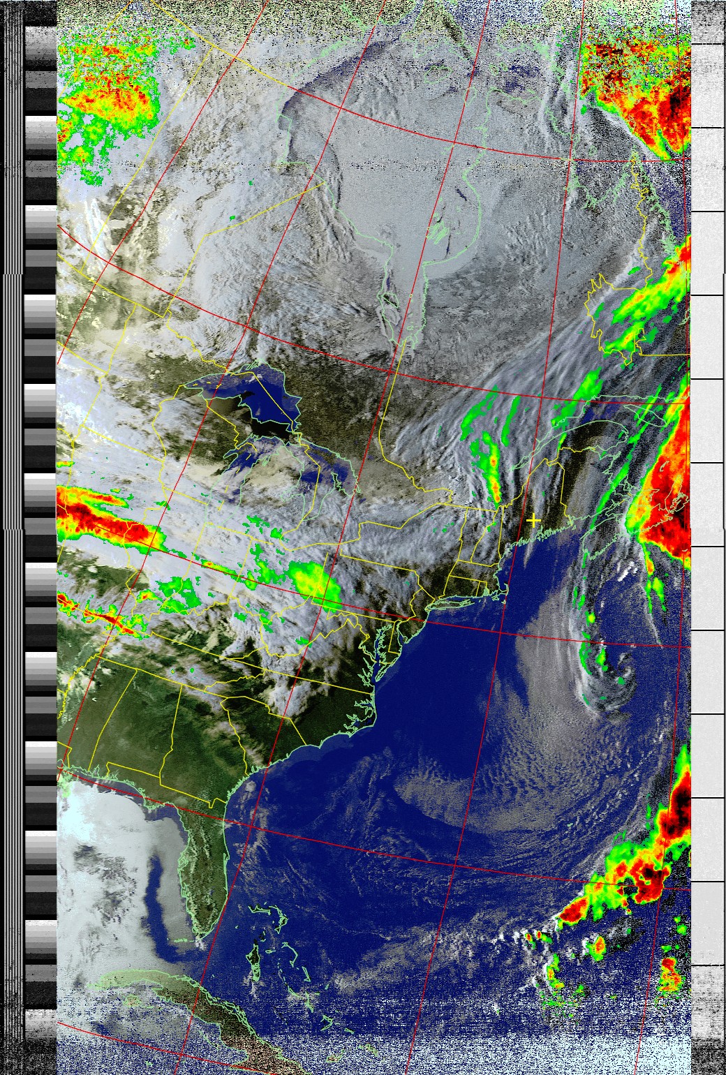
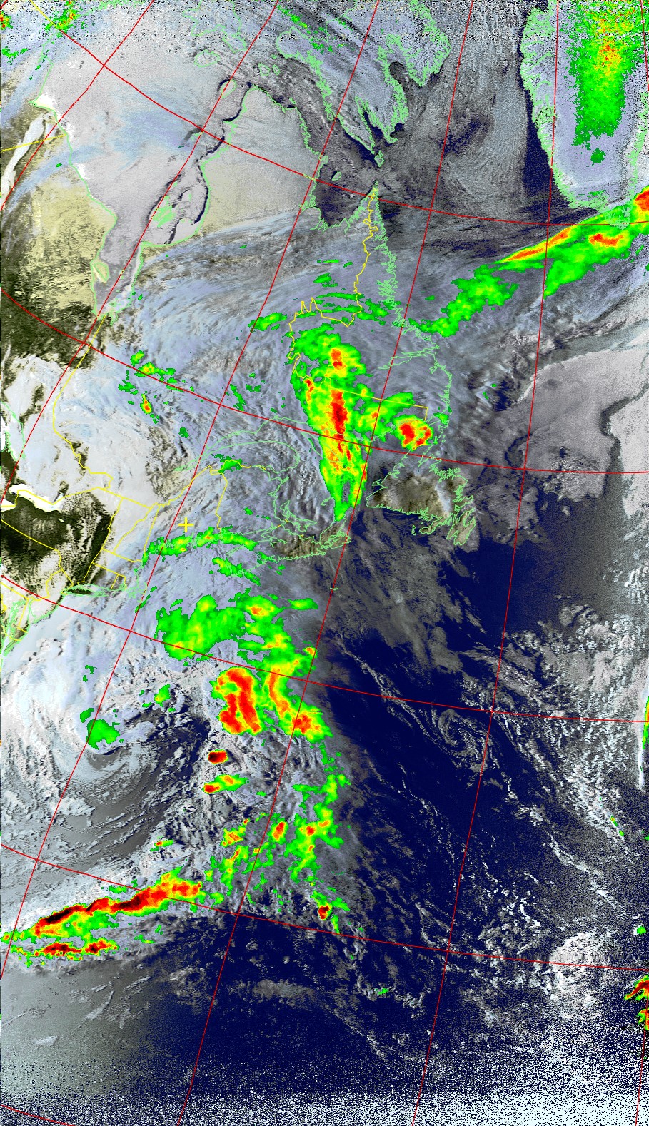
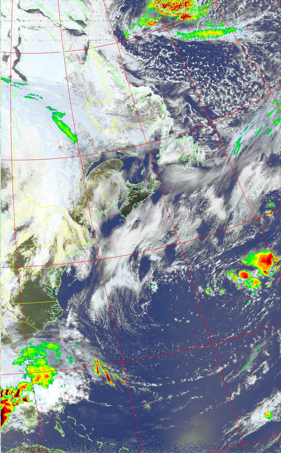
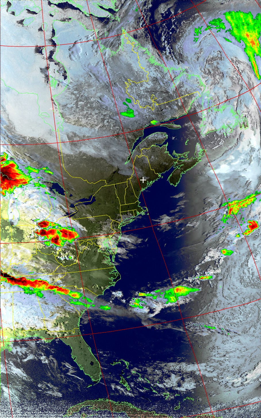
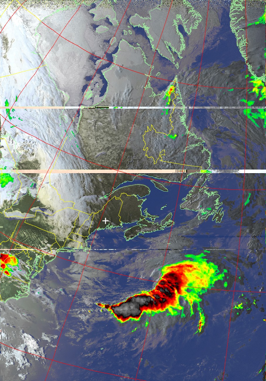
Russian "Meteor" Weather Satellite Images